
Products Pueblario

Pueblario
Colour in the map of Spain's 8,132 municipalities as you visit them, one by one. Works offline, and your places never leave your phone. Coming soon to Google Play and the App Store.
Coming soon
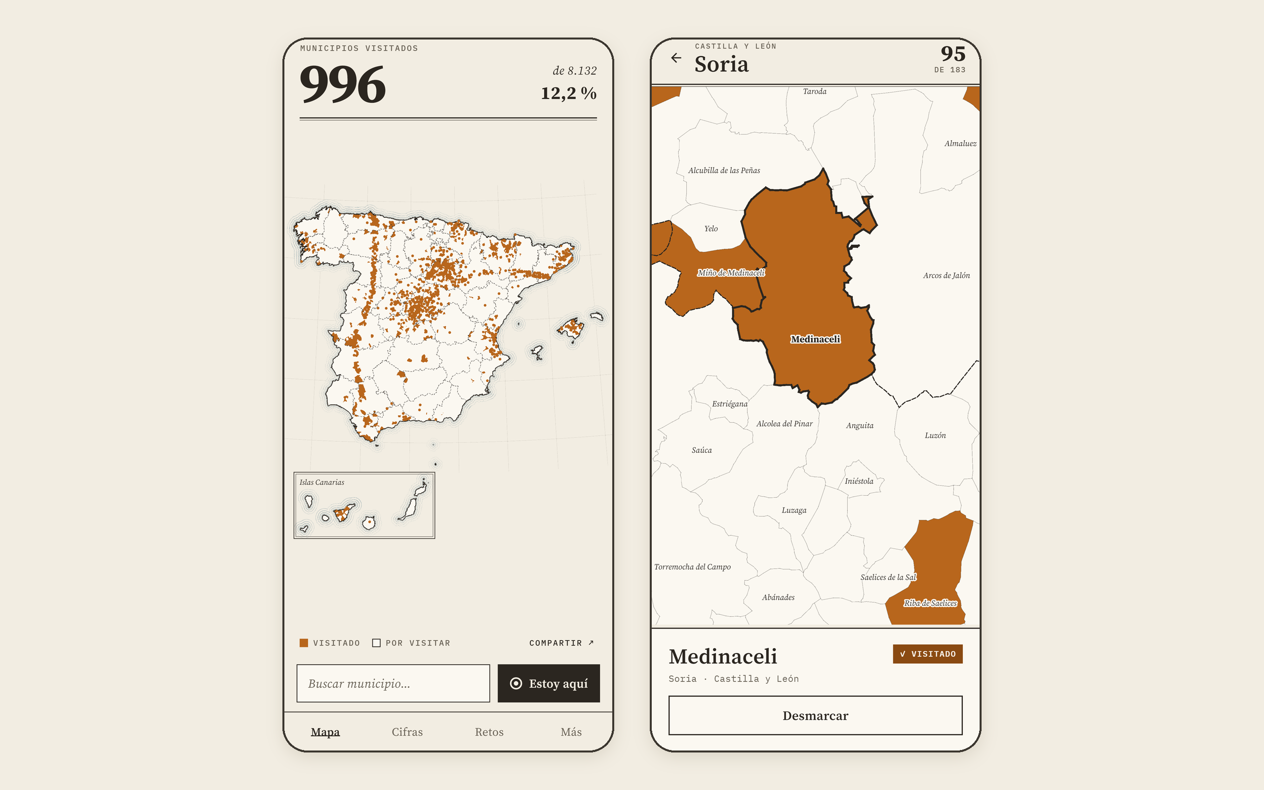
The problem
There's an app for marking the municipalities you've visited in Catalonia, but we couldn't find one for the whole of Spain. We wanted a map with all 8,132 municipalities, one by one, that works on the road with no signal and doesn't ask for an account or any data.
At a glance
Where the data comes from
- Municipal boundaries: National Geographic Institute
- Spain's administrative units, with the 8,132 municipalities and their official names exactly as published. CC BY 4.0 licence, credited on the map, in the app and on every shareable image.
- Population: INE
- The official population register figures, for the challenges and to order the search results and the names on the map.
How we built it
A map that fits on your phone
The boundaries of the 8,132 municipalities come from the National Geographic Institute. We simplify them all at once, without opening gaps or overlaps between neighbours, going from 4.4 million points to under a million. The whole map, with two levels of detail, takes up 3.6 MB and is built into the app: it works with no signal and no third-party maps.
Small towns show up too
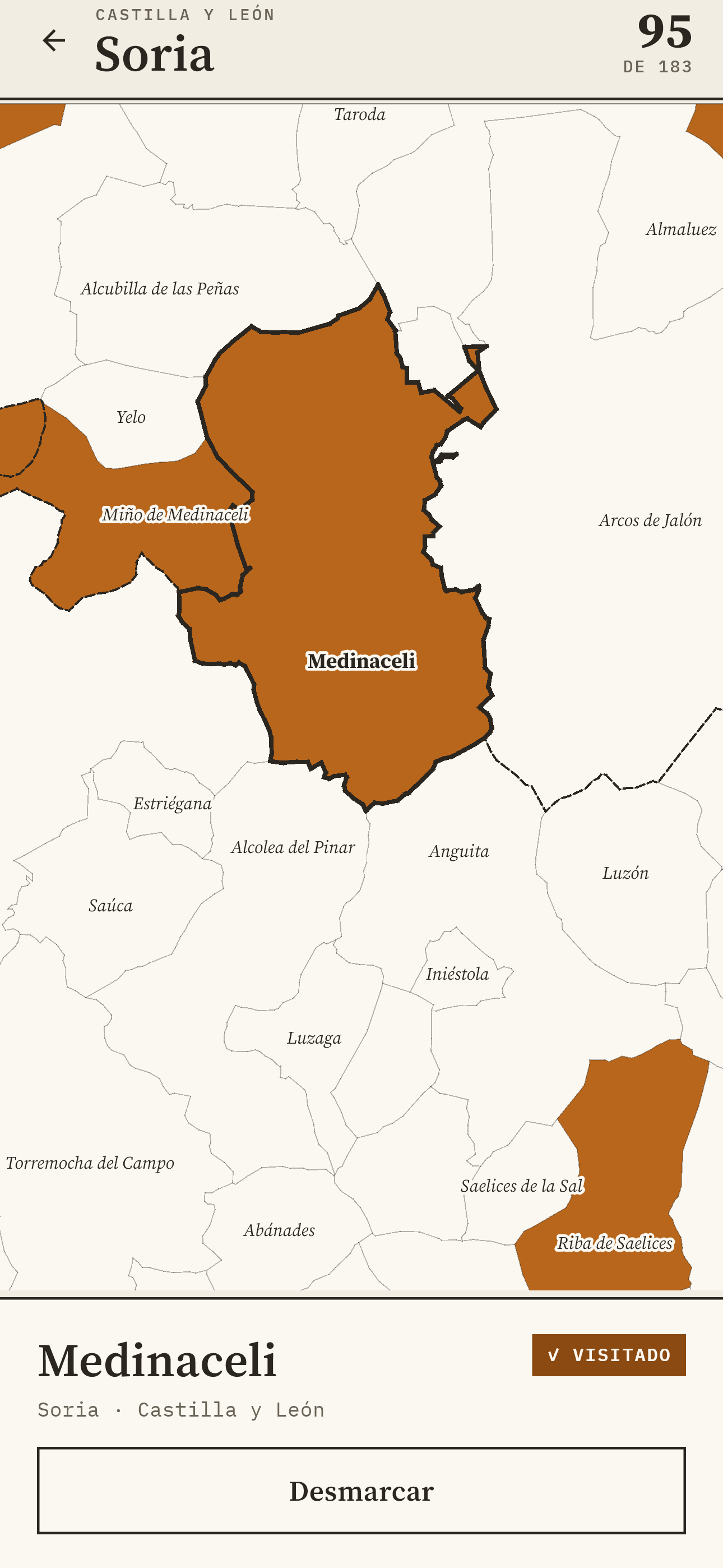
Viewing all of Spain, each pixel is about 2.8 km, and many municipalities are smaller than a pixel. If you've visited one, the app also marks it with a minimum-size dot. Zoom in and even the smallest, Llocnou de la Corona, can be tapped; and if several fall under your finger, the app asks which one.
Your location, only when you ask
“I'm here” uses GPS once, when you tap it. The position is turned into a municipality on the phone itself and then discarded. There are no accounts or servers: what you mark stays on your phone, and moves to another one with a backup.
Challenges built on official data
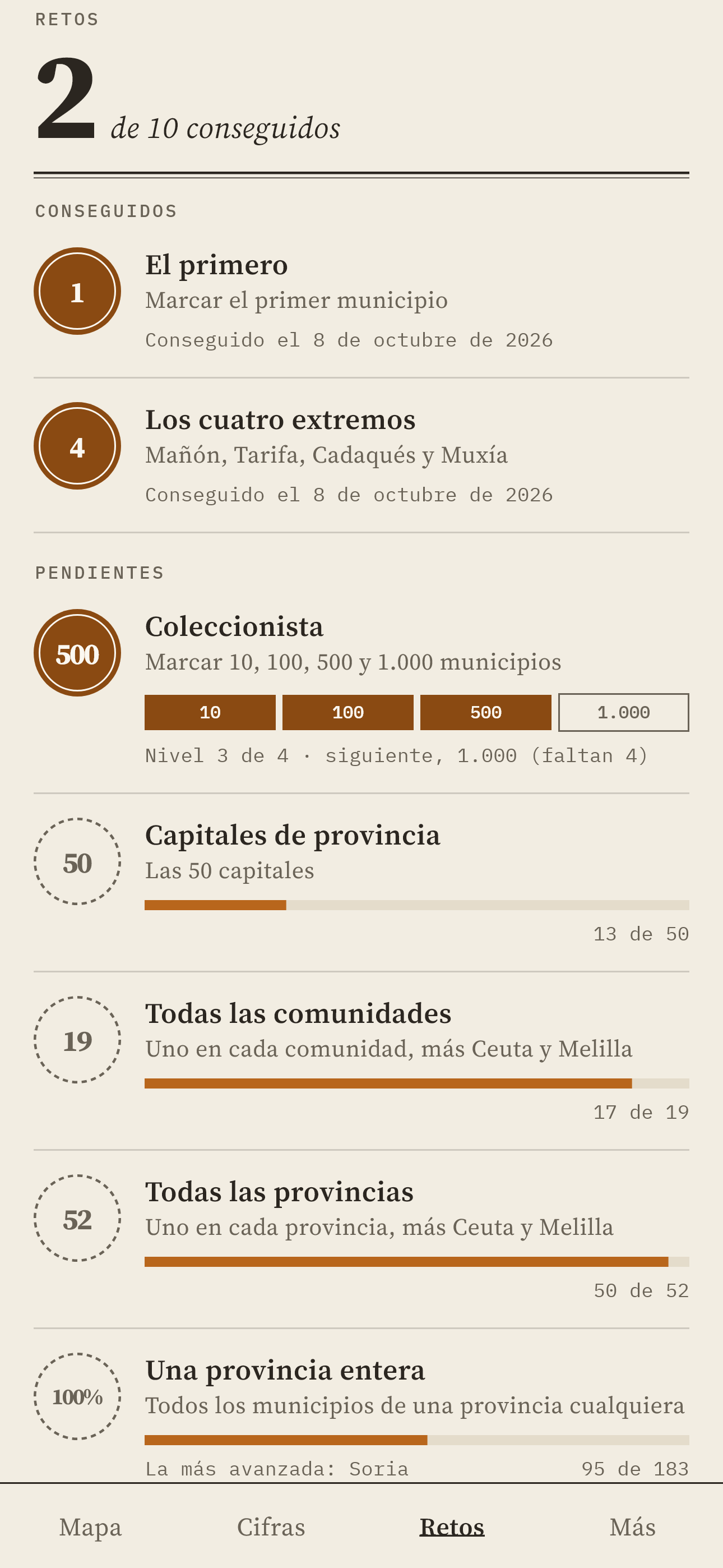
The lists for the ten challenges are calculated from IGN and INE data, not written by hand: the four extremes of the peninsula, the 50 provincial capitals, the 15 municipalities with fewer than 10 inhabitants, the eleven islands with their own town council… A challenge you've completed is never lost.
Free, with a Pro version that removes the ads
The app is free and complete. It shows a banner only on the stats and challenges screens, never on the map, and Pueblario Pro (a one-off payment of €3.99, no subscription) removes it. Neither the ads nor the purchase receive what you've marked or your location.
Built with Flutter for Android and iOS from the same code, with 72 automated tests on every change.
On your phone
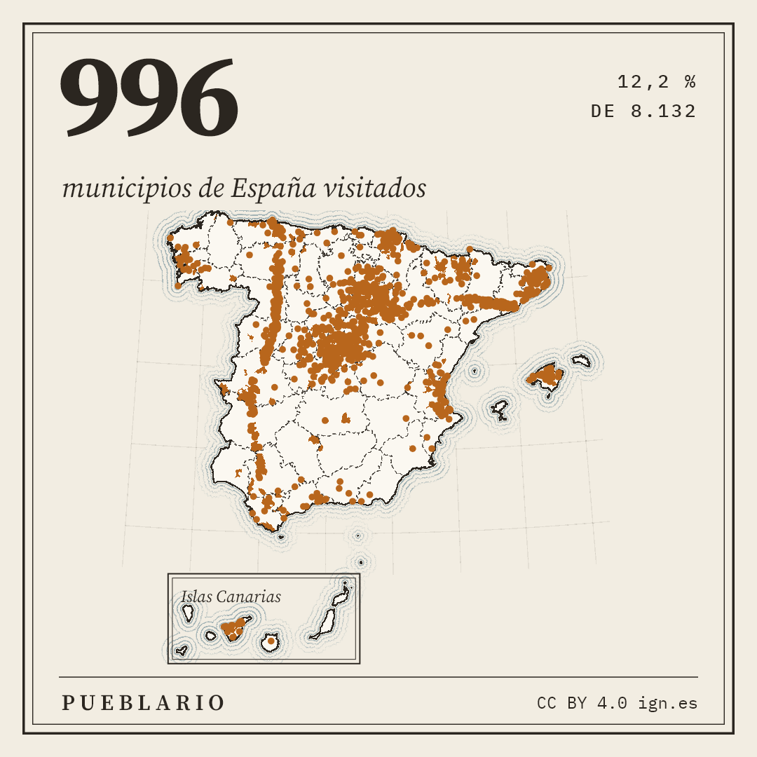
The shareable image
Privacy
What you mark never leaves your phone, and your location is only used when you ask. Full details in the apps' privacy policy.
Credits
Municipal boundaries: obra derivada de Unidades administrativas CC BY 4.0 ign.es. Population: INE.